

The threat of sea-level rise does not just come from the permanent encroachment of the ocean upon the land. It comes – and sooner – from the way in which a higher mean sea level provides a higher base upon which storms, tides, and waves can flood the land and invade groundwater supplies. In some cities of the US Atlantic and Gulf coasts, for instance, sea level rise since the 1950s has already led to a ten-fold increase in coastal flooding. Atlantic City experienced tidal flooding about 2 days per year from 1956 to 1960; from 2006 to 2010, after about 9″ of local sea-level rise, it occurred about 21 days per year (Sweet and Park, 2014).
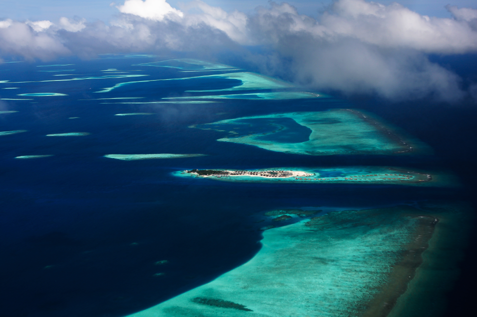
In the United States, we tend to worry most about the way in which sea-level rise amplifies flooding caused by storm surge and tides; but in the central Pacific, giant waves – some exceeding 6 meters (nearly 20 feet) — pose a great threat. A paper by Curt Storlazzi and colleagues, published today in Science Advances, examines the impacts of waves amplified by sea-level rise on coral atolls like those that compose the Marshall Islands. Using a combination of sea-level rise scenarios, hydrodynamic, and groundwater models, they find a couple of thresholds of key socio-economic importance in the Marshall Islands. At 40 cm of local sea-level rise, annual wave-driven flooding will render groundwater supplies irredeemably saline. At 100 cm, most of the island of Roi-Namur, on which the authors focused, would flood annually.
The authors are asking a critically important question for small island states like the Marshall Islands, and they are leveraging important tools to study the effects of waves and sea-level rise on the island and its water resources. Unfortunately, some of the headline numbers from the paper – how soon the 40 cm threshold will be crossed – are liable to misinterpretation because of the way the authors used some sea-level rise scenarios developed for the Department of Defense by the US government’s Coastal Assessment Regional Scenario Working Group (CARSWG).
CARSWG developed and localized a set of sea-level rise scenarios spanning a range of possible 21st-century global sea-level rise values, from 20 cm at the low end to 200 cm at the high end. These scenarios were intended as tools for risk management, not as forecasts of what would be likely under different emissions scenarios. A similar approach was taken in scenarios I was involved in developing for the Fourth National Climate Assessment. These scenarios spanned a range of global sea-level rise from 30 cm to 250 cm by 2100, with the low-end defined by a linear extrapolation of historic rates and the high-end based on a literature review to identify a plausible extreme scenario.
Moreover, the CARSWG scenarios assume that the rate of global-mean sea-level rise increases at a constant rate. If this were the case, the rate of sea-level rise and its acceleration today would be perfectly predictive of sea-level rise over the course of the century. Unfortunately, this is not the case; as we showed in a paper published in December, higher-end sea-level rise scenarios involve physical mechanisms different from those active today. That means early 21st-century sea-level rise is only very weakly predictive of late 21st century sea-level rise. You don’t need to be on an extreme sea-level rise path today to end up on one late in the century; indeed, some of the higher end CARSWG scenarios are extremely unlikely early in the century but become more likely later in the century.
Despite these issues, the Storlazzi et al. study does not use the CARSWG scenarios as risk management tools; it uses them as though they were forecasts. The study maps CARSWG’s 50 cm scenario to the most likely sea-level rise under a moderate-emissions future (Representative Concentration Pathway 4.5); CARSWG’s 150 cm scenario to the most likely rise under a high-emissions future (Representative Concentration Pathway 8.5); and CARSWG’s 200 cm to Representative Concentration Pathway 8.5 with an additional contribution from an unstable Antarctic. This usage leads the authors to a conclusion that is liable to make headlines: they assert that under a high-emissions pathway, the threshold for groundwater contamination will be crossed in the 2030s. From a sea-level rise perspective, this conclusion is overly pessimistic.
Unlike the CARSWG and National Climate Assessment projections, the Rutgers Earth System Science & Policy Lab and its collaborators have developed sea-level rise projections that are intended to assess the likelihood of different levels of global and local sea-level change. So, we can examine the study’s thresholds in that context. In particular, we use three sets of localized sea-level rise projections:
- Those developed by Kopp et al. (2014), which are largely consistent with the global projections of the Intergovernmental Panel on Climate Change’s Fifth Assessment Report;
- Those developed by Kopp et al. (2017) to include potential Antarctic instability mechanisms explored by DeConto and Pollard (2016); and
- Those developed by Rasmussen et al. (2018) to look at scenarios consistent with the Paris Agreement’s 1.5 and 2.0 Celsius temperature targets.
In the first two sets of projections, we look at three emissions pathways: a high emissions pathway of continued fossil fuel emissions growth (Representative Concentration Pathway 8.5); a moderate pathway in which emissions stabilize at near their current levels for the next thirty years and then decline (Representative Concentration Pathway 4.5); and an aggressive pathway leading to net-zero emissions in the fourth quarter of this century (Representative Concentration Pathway 2.6).
These are probabilistic projections; for each, we can identify – under the assumptions of the study and the scenario – how likely a threshold is to be crossed at different points in time. Contrary to the unfortunate headlines for the Storlazzi paper, under no projection is there a more than 1-in–20 chance that the 40 cm threshold will be crossed before 2040. Nonetheless, the picture is grim, particularly under high-emissions scenarios.
Following the terminology of the IPCC by defining ‘likely’ as indicating at least a 2-in-3 chance, we find it is likely that the 40 cm threshold will be crossed:
- under a high-emissions pathway, by about 2064, or by about 2057 if Antarctica proves to be fairly unstable;
- under a moderate-emissions pathway, by about 2073, or by about 2064 if Antarctica proves to be fairly unstable;
- under a 2.0°C stabilization scenario, by about 2078; and
- under a 1.5°C stabilization scenario, by about 2083.
Even under a 1.5°C stabilization scenario, it is likely that the groundwater supplies on Roi-Namur and other islands in the region will be rendered irrevocably contaminated within the lifetime of a 8-year-old child live in the Marshall Islands today. Thus a recent Frontline project dubbed the children of the Marshall Islands today “The Last Generation.”
That said, aggressive mitigation can substantially increase the odds of the islands’ survival. In the projections of Rasmussen et al. (2018), the probability of staying below the 40 cm threshold through 2200 increased from about 4 percent in a 2.5°C stabilization world, to about 8 percent in a 2.0°C world, to about 12 percent in a 1.5°C world.
On the other hand, as Curt Storlazzi observed to me, their 40 cm threshold may be conservative. They don’t account for coral degradation, the highest observed wave heights, or the fact that the island they focused upon has been modified by the US military to be higher than most of the atoll islands in the region. These factors might partially counteract some of the excessive pessimism of their early 21st century sea-level rise scenarios.
There is no doubt that sea-level rise poses a grave threat to the small island states of the world and that, in some cases, even very aggressive climate change mitigation may only buy these islands a couple decades of delay. From my perspective, it is incumbent upon the more fortunate portions of the world – which are also the portions disproportionately responsible for the islands’ plight – to listen to the voices of their citizens and muddle through in a way that is as just as possible to those we have harmed.

Figure: The timing at which the 40 cm threshold for groundwater contamination and 100 cm threshold for flooding the majority of Roi-Namur will be crossed under different climate scenarios. Thin boxes indicate the time period over which there is an approximately 9-in–10 chance the threshold will be crossed and the medium boxes a 2-in–3 chance. The white boxes indicate the median timing. The tall boxes are demarcated by a 2-in–3 chance of being exceeded on the left, and a 2-in–3 chance of not being exceeded on the right; thus, we would say it is likely that the threshold will be exceeded before the right edge of the tall box.